16 April 2021
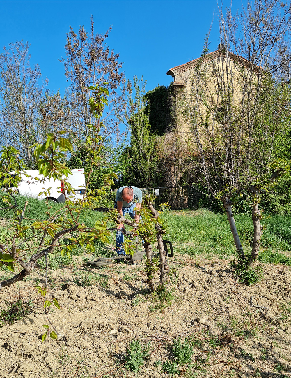
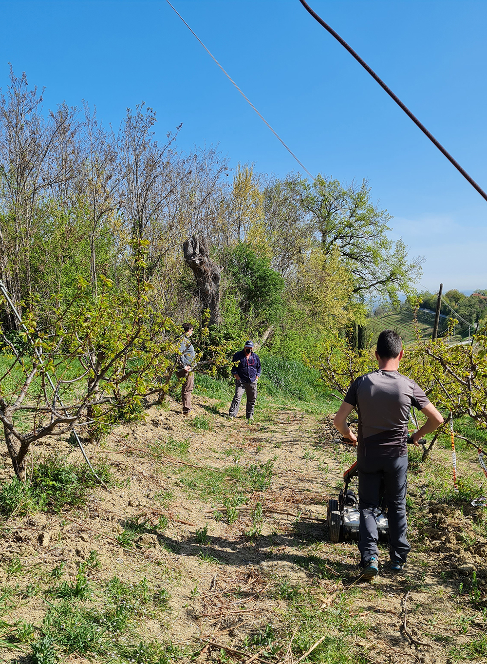
Geophysical investigations have been carried out
through electromagnetic waves thanks to the system that manages radar antennas
to detect the surface and magnetometric investigations to calculate the localized variations from the Earth’s magnetic field.
The purpose of the assignment was
to capture, in a non-destructive manner,
the presence of any explosive devices related to the shape and size of unexploded war present in the wine fields in the countryside of Brisighella (RA).
Thanks to the acquisition of the obtained data,
it has been detected the detail of the subsoil in the environment object of investigation.
- Project: Electromagnetic investigations and Georadar
- Client: Unione Della Romagna Faentina
- Place: Brisighella (RA)
For the execution of the work was used the following instrumentation:
- Georadar frequency 200/600 Mhz
- Magnetometric