13 December 2021
The purpose of the work was to provide aligned point clouds and partially the restitution of buildings in IFC (BIM) format finalised at the analysis of the structures and determination of the current situation of the areas under the contract.
- Project: Topographic and laser scanner surveys, finalised at the 3D survey of Buildings of the Demanio Complex in Bologna
- Client: Politecnica / CFR.
- Place: Bologna.
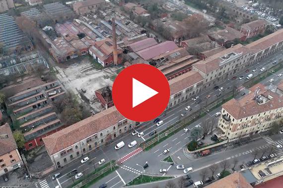
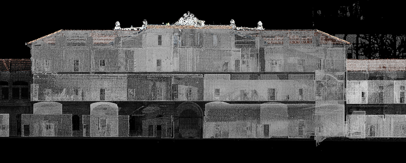
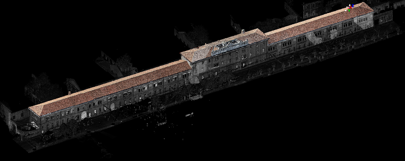
We carried out laser scanner and topographic surveys for the purpose of providing 3D representations of 3 built-up areas; the work was carried out with approximately 5700 scans, up to 5 laser scanners used contemporaneously and 1 RTK drone for the execution of critical scenario flights for the production of a point cloud of the roofs of 2 areas under the contract.
All the survey and export operations were carried out over a period of 4 months.
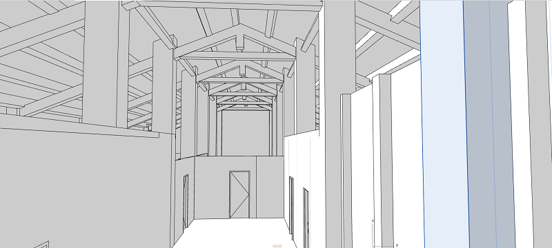
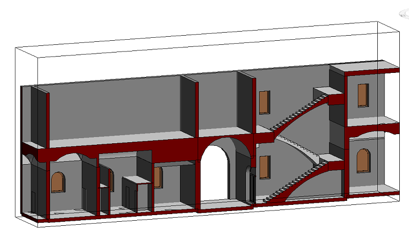
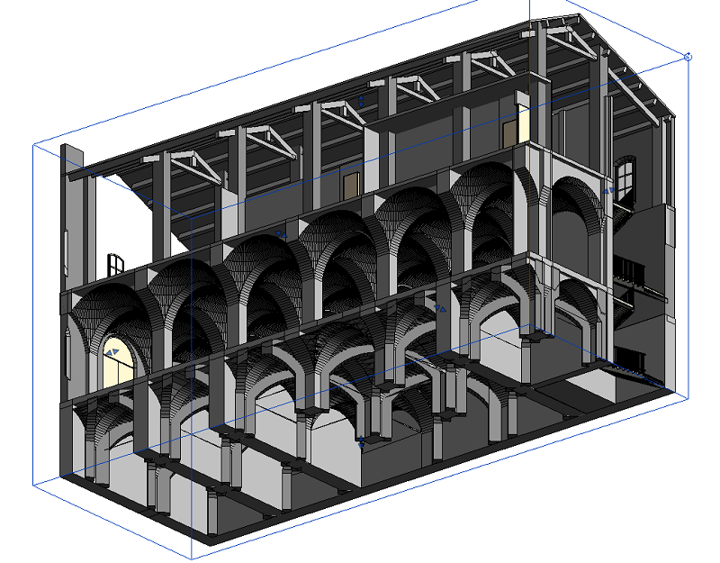
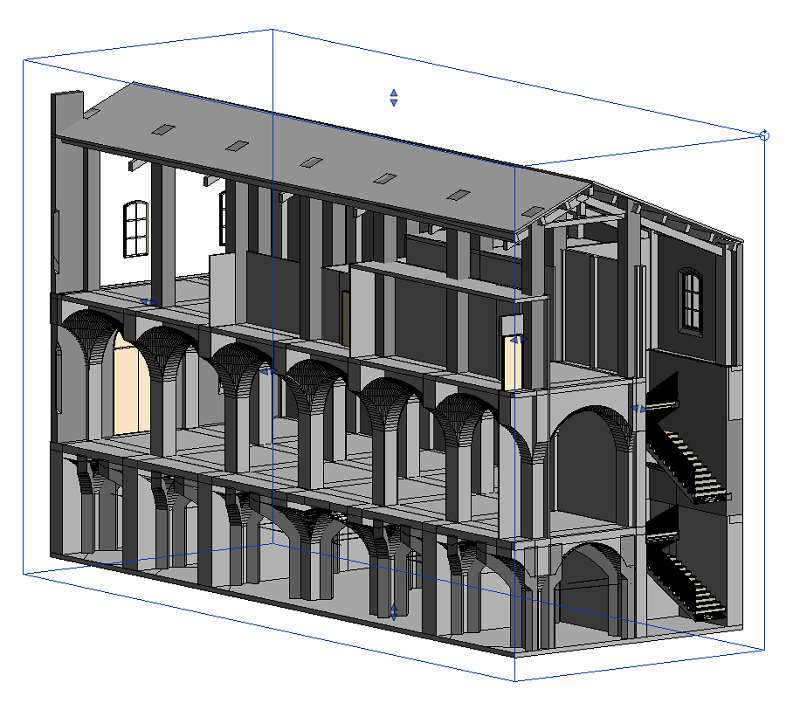
All the aligned clouds of the 3 areas were provided for the analysis of the structures, together with the export in IFC (BIM) format of one of the 3 areas under contract.
Services Performed Area 1 (historic and residential complex of app. 10,000 sq.m):
- Static GPS survey;
- Total station survey;
- Laser scanner survey for a total of app. 1200 scans;
- Point cloud alignment.
Services Performed Area 2 (historic and residential complex of app. 19,000 sq.m):
- Static GPS survey;
- Total station survey;
- Laser scanner survey for a total of app. 1500 scans;
- UAV flight on critical scenario;
- Processing of photogrammetric data for the production of a point cloud of the roofs;
- Point cloud alignment;
- Integration of the clouds obtained from the laser scanner with those deriving from the photogrammetry
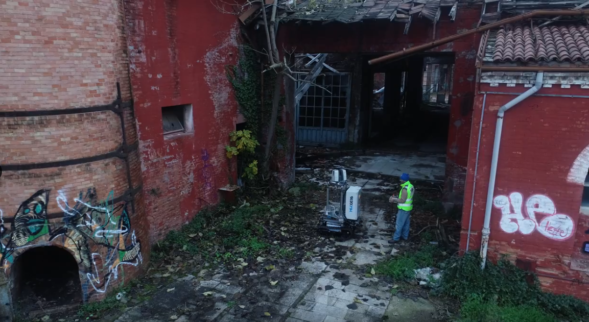
Services Performed Area 3 (abandoned and partially unsafe building complex of app. 47,000 sq.m):
- Static GPS survey;
- Total station survey;
- Laser scanner survey for a total of app. 3000 scans;
- 8 UAV flights on critical scenario;
- Processing of photogrammetric data for the production of a point cloud of the roofs;
- Point cloud alignment;
- Integration of the clouds obtained from the laser scanner with those deriving from the photogrammetry;
- 3D exportation in IFC format.
Geosolvo® Solutions
- Robot MecGeos V1 to automate 3D survey
For this assignment we used
MecGeos.