01 September 2020
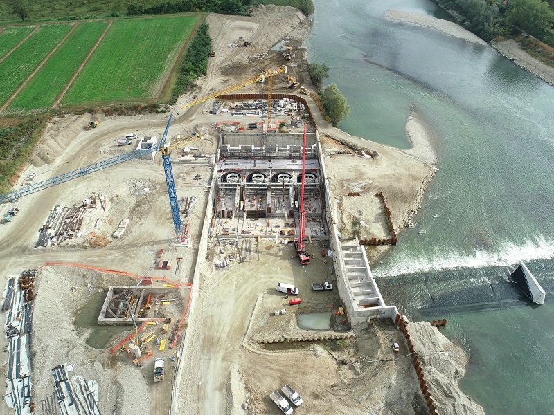
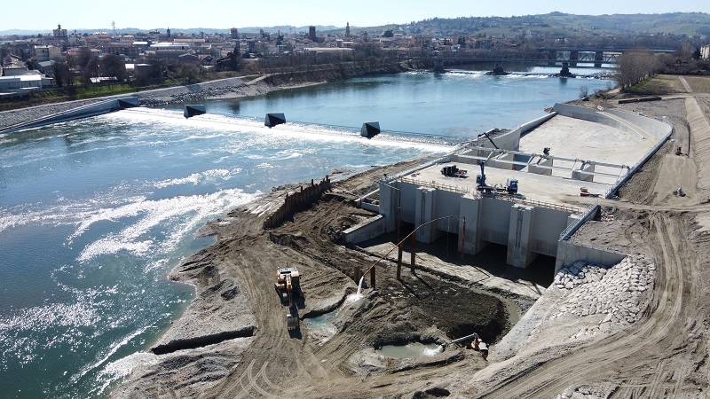
We used a local
coordinate system with installation of fixed topographical landmark for the orientation of the total station, all the
points to be drawn were oriented to the initial system in the area of
the hydroelectric plant. The
topographical tracing of the
turbines reached a
depth of 12 meters. Throughout the duration of the construction site, we followed the
correct positioning for retaining walls, fish ladders, canoe ramps, foundation piles (up to 25 meters deep), turbine positioning and positioning of all necessary structures for the realization of the idroelettric central.
- Project: Tracing of structures and controls of the execution of works
- Client: direct company
- Place: Casale Monferrato (AT)
For the execution of the work was used the following instrumentation:
- Total station: Zoom 90
- Drone: PHANTOM P4 RTK
- GNSS: GEOMAX ZENTH 35 PRO