MAKE LAND MAPPING SAFE AND SIMPLE
--
MONITOR THE PLANET
SURVEYING AND MAPPING
Espandi barra di navigazione
Menu
Services
Business Sectors
Tecnology and Software
MecGeos
blog
Careers
Italiano
Inglese
Italiano
Inglese
Home
blog
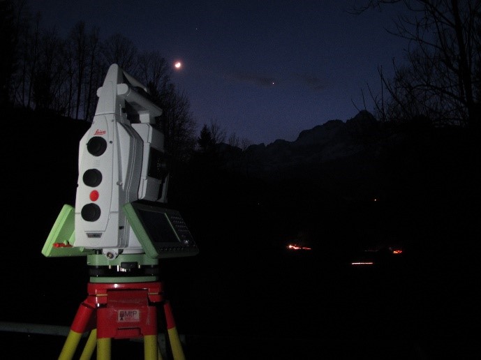
Topographic surveys of tunnels
Topographic surveys of tunnels
Topographic survey of precision polygon for positioning the 3D scanner for subsequent alignment of the scan of the bridge and Enel tunnels.
22 March 2017
Project
: topographic and laser scanner surveys at the Belluno tunnels and plants - Agordo - Vajont - Pieve di Cadore
Client
: private company
Year of realization
: 2017
Location
: Agordo (BL)
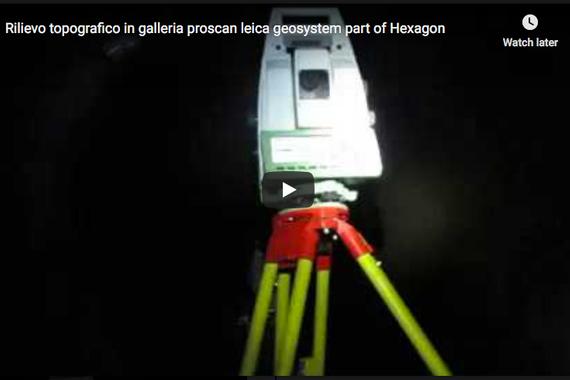
Leica Geosystem - proscanmobile - Ts60 Leicageosystems
Back to the list