06 November 2019
Project: Zagonara Castle excavation campaign
Customer: Year of realization: 2017/2018
Location: Zagonara (Lugo - RA)
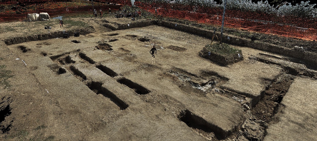
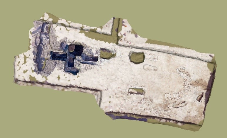
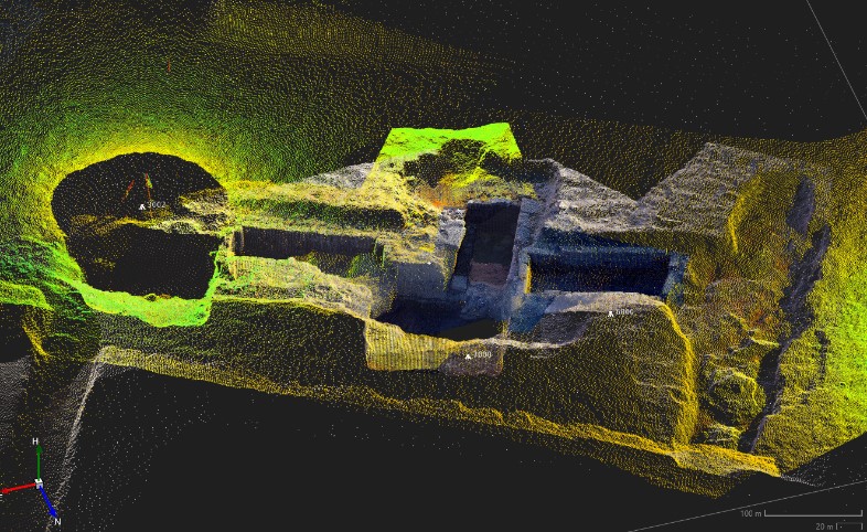
At the archaeological excavations of the castle of Zagonara (Lugo - RA), we carried out laser scanner and GPS surveys in the field, which produce a three-dimensional georeferenced model that is perfectly compared to the previous models. In each case we took photos for the automatic coloring of the point cloud detected by laser scanner. the data provide the elements necessary for the historical-archaeological-architectural documentation of the structures present on site.