26 October 2020
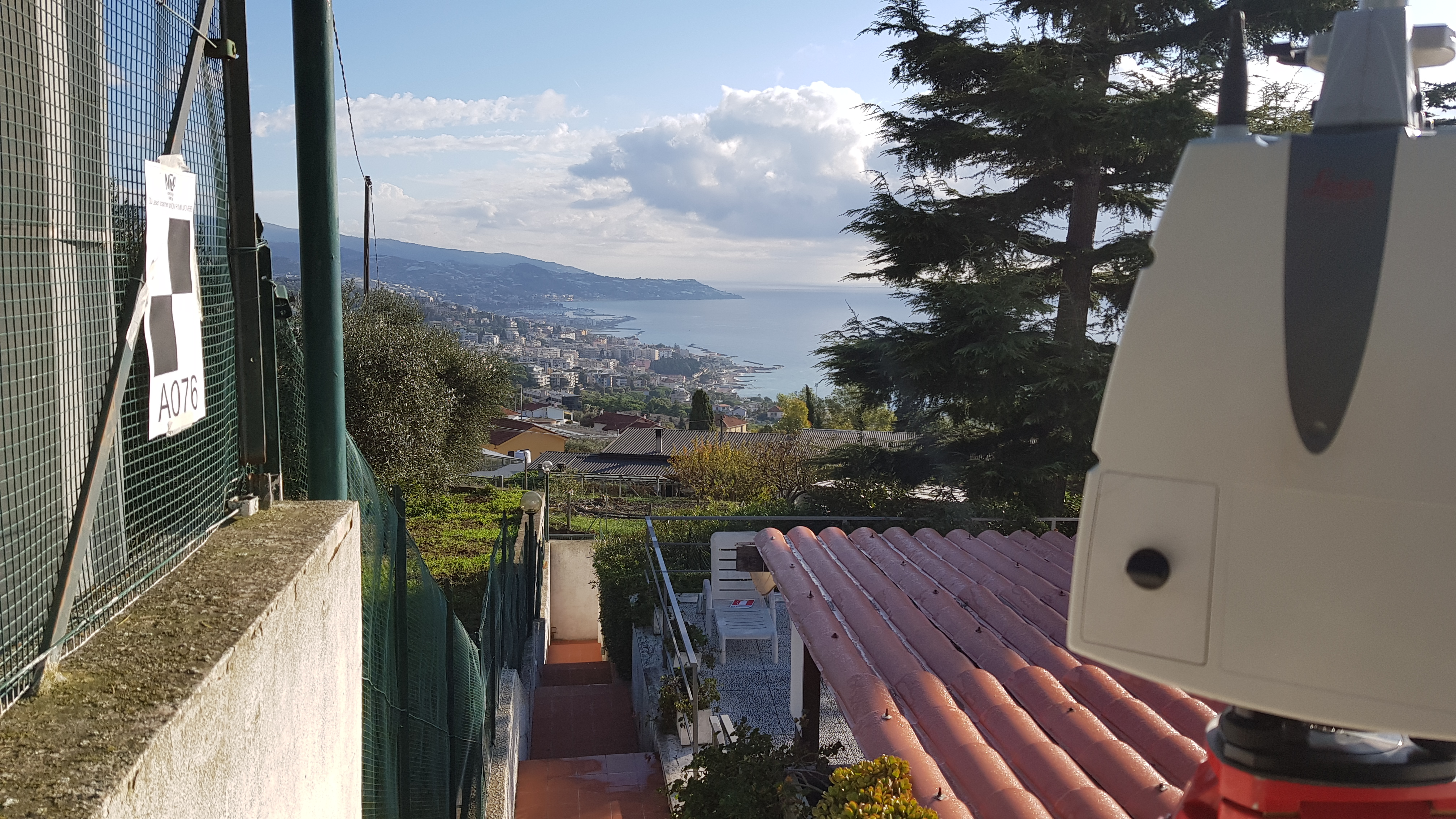
Plano-altimetric surveys of buildings,
external elevations and
geo-referencing roofs were carried out using a predefined topographic reference system.
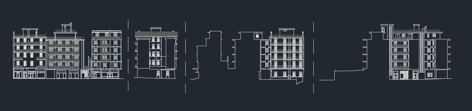
The purpose of the assignment was the
drafting of elaborate three-dimensional graphics and a
3D model of the buildings, for the return of graphic elaborations useful to obtain the metric data for interventions of Superbonus 110%.
- Project: 3D Laser Scanner and Drone flight Client:
- Client: Private real estate
- Place: Sanremo e Bordighera (IM)
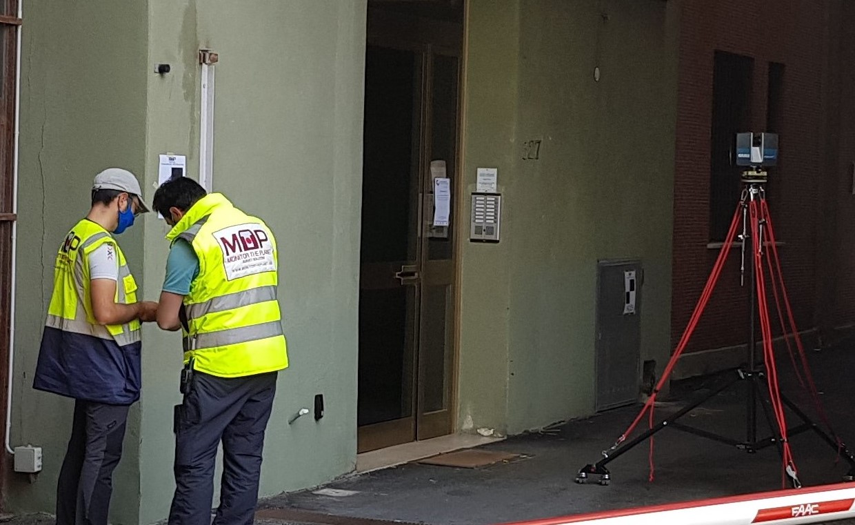
For the execution of the work was used the following instrumentation:
- MecGeos Remote Control
- TPS Motorized MS60 (0,5" - 1") Leica-Geosystems
- Laser Scanner P30 Leica-Geosystems
- Faro S70
- Drone Phantom4 RTK
For the elaboration of the work the programs were used:
- Cyclone LeicaGeosystems
- 3DReshaper Hexagon
- Pix 4D