14 September 2017
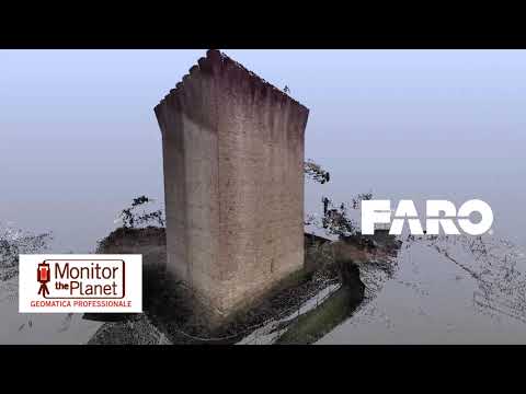
Topographical surveys of the architectural monument have been carried out
using Laser Scanner and GPS for a
graphic restitution associated with the identification of the qualities of existing plants and sections.
The purpose of the assignment was to create a
three-dimensional historical and contemporary rendering of the Tower.
- Project: Monumental survey
- Client: Direct company
- Place: Oriolo dei Mille Fichi - Faenza (RA)
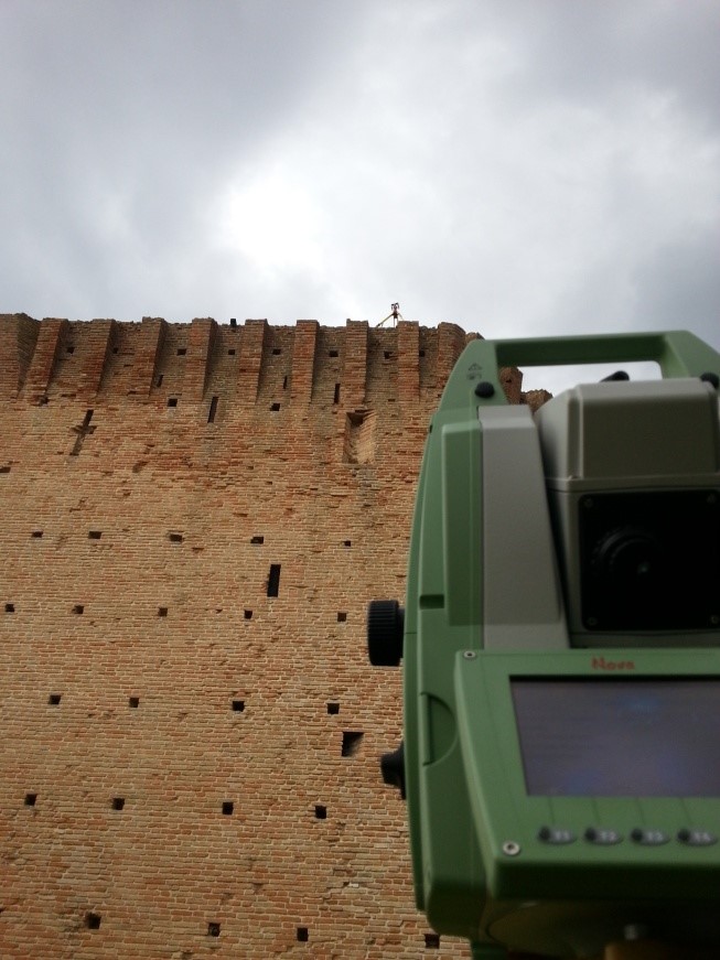
For the execution of the work was used the following instrumentation:
- GS18T Leica Geosystems
- TS60 Leica Geosystems
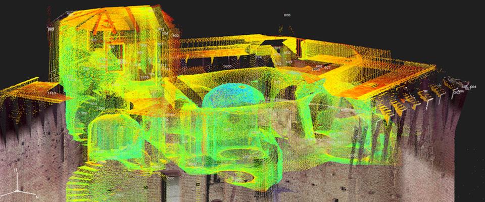
For the elaboration of the work the programs were used:
- Cyclone LeicaGeosystems
- 3DReshaper Hexagon
Cloud Viewer link: tips for better viewing.
Click on button with the three setting lines:
- click on "Aspetto" and increase the points at full scale to the maximum
- look at "Progetto" and click on the "project name" and increase the point size scale
- look at "Progetto" and click on the "project name" and look at "Colore" you can see RGB selected by default. For non-color projects change "RGB" to "Gradiente di intensità"