04 April 2019
- Project: assignment relating to plano-altimetric surveys, aimed at the splitting of maps and the construction of punctual artefacts
- Client: Municipality of Santa Giustina (BL)
- Year of realization: 03/2019
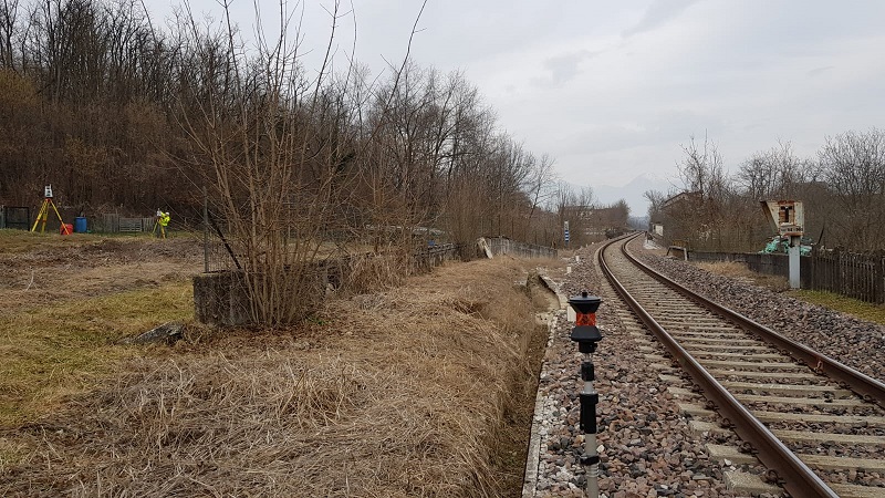
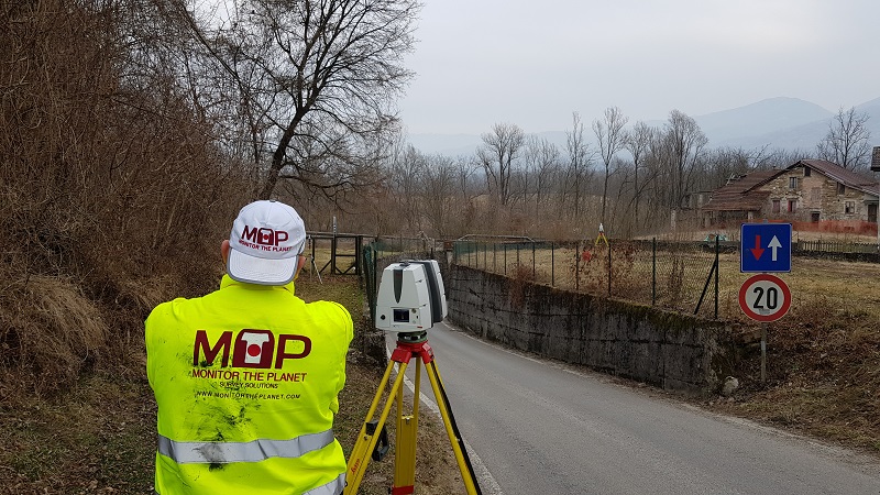
- Location: Santa Giustina (BL) Assignment for plano-altimetric survey for planning of sections of cycle paths with construction of pedestrian and cycle bridges as well as tunnels for underground road crossing.
The project can be summarized as follows:
- check the status of the places
- design of the reference systems for the surveys in question
- execution of 3D laser scanner and topographic surveys of the areas concerned
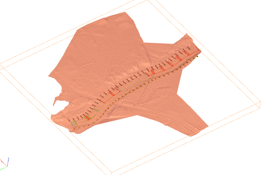
- data download, processing and calculation of soil models with vegetation extraction
- creation of road axes and extraction of the sections of the torrents and existing roads involved
Il tutto certificato con strumenti e software Leica Geosystems, sierrasoft Roads, Land e Topko e 3D Reshaper Hexagon.