08 September 2021
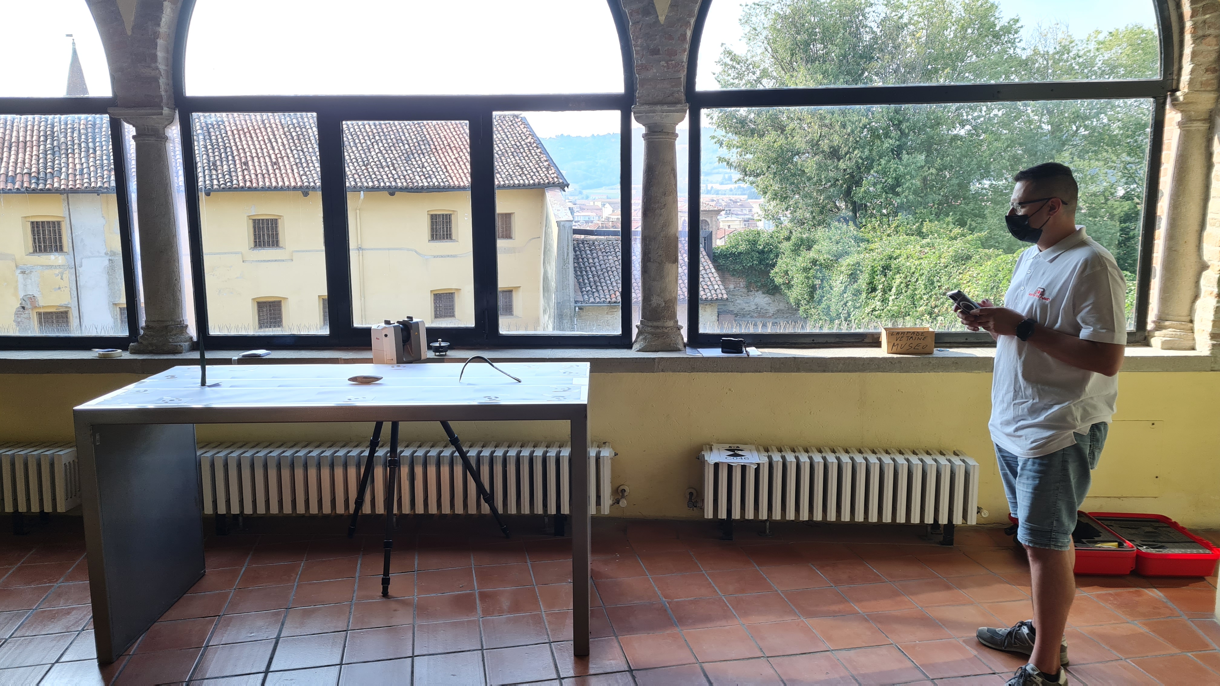
Surveys have been carried out with the aid of
three-dimensional Laser Scanner with
integration of photogrammetry of some
archaeological finds belonging to the prehistoric, protohistoric, Roman and medieval ages.
The purpose of the assignment was to 3D model parametric surfaces by creating polygonal meshes of each artifact in order to proceed with 3D printing.
- Project: Survey of archaeological works
- Client: Municipality of Acqui Terme (AL)
- Place: Acqui Terme (AL)
For the execution of the work was used the following instrumentation:
- Laser Scanner RTC360 LeicaGeoSystems
- Canon G1X
For the elaboration of the work the programs were used:
- Cyclone LeicaGeosystems
- 3DR Hexagon