12 January 2022
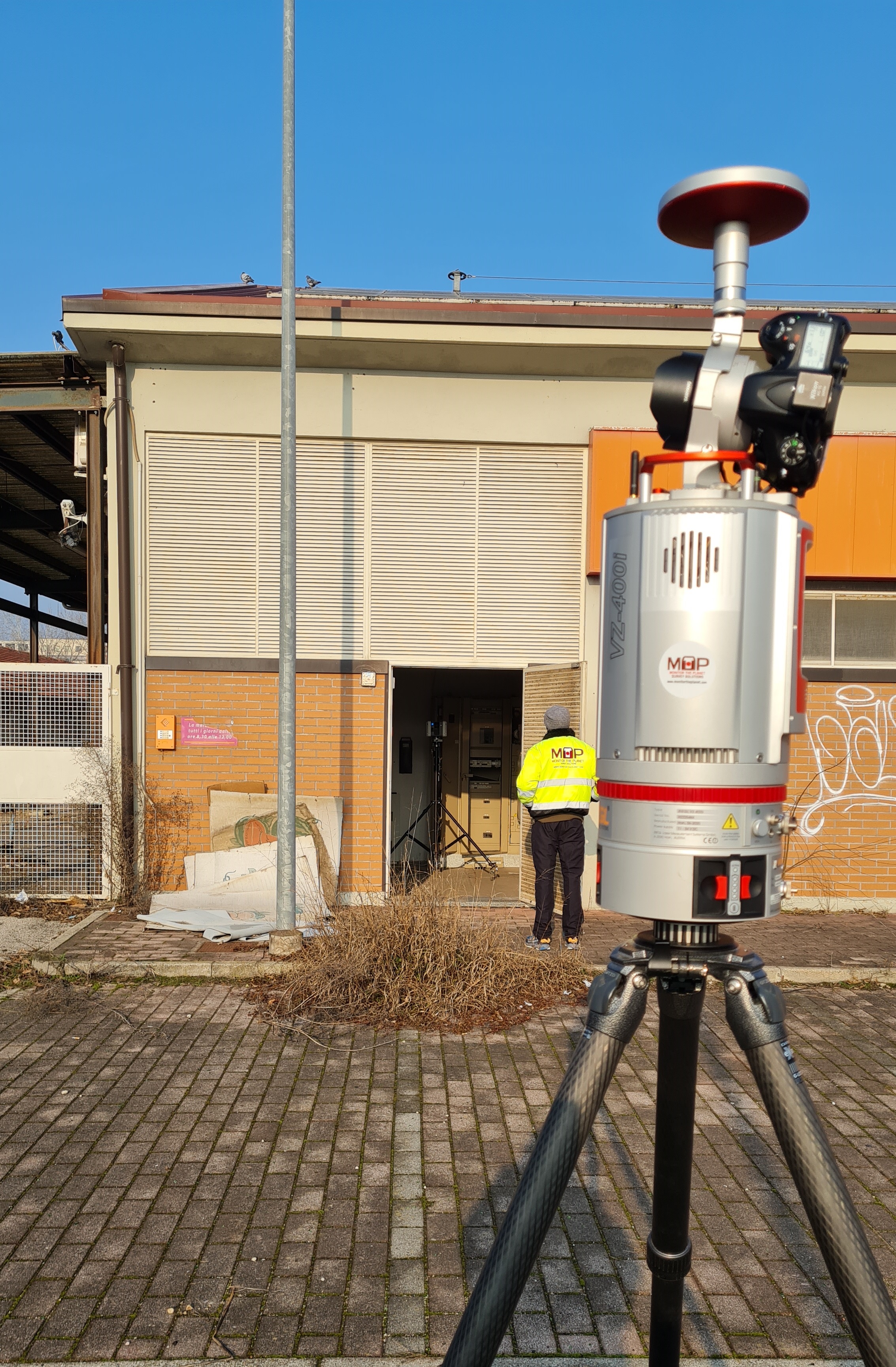
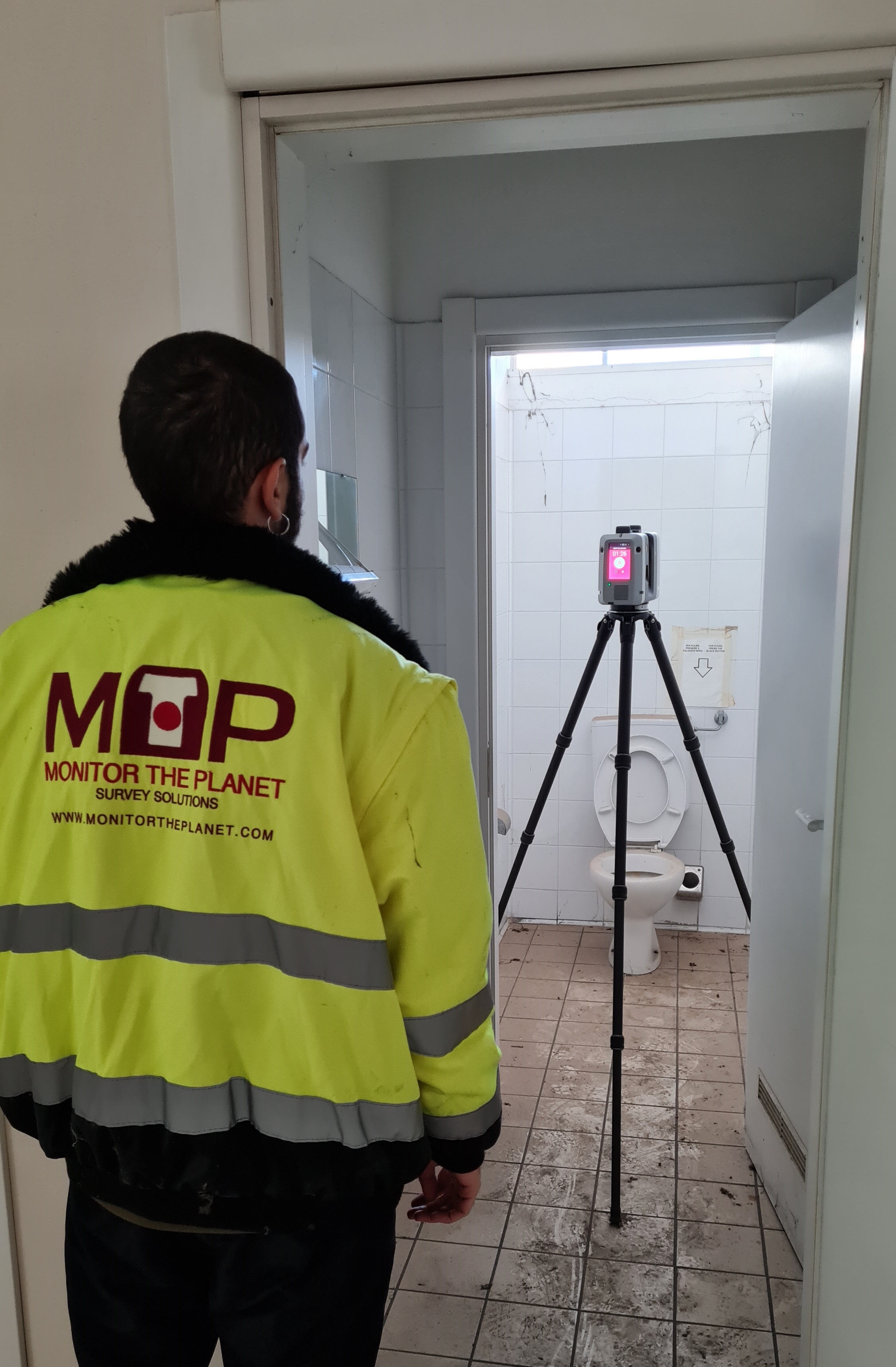
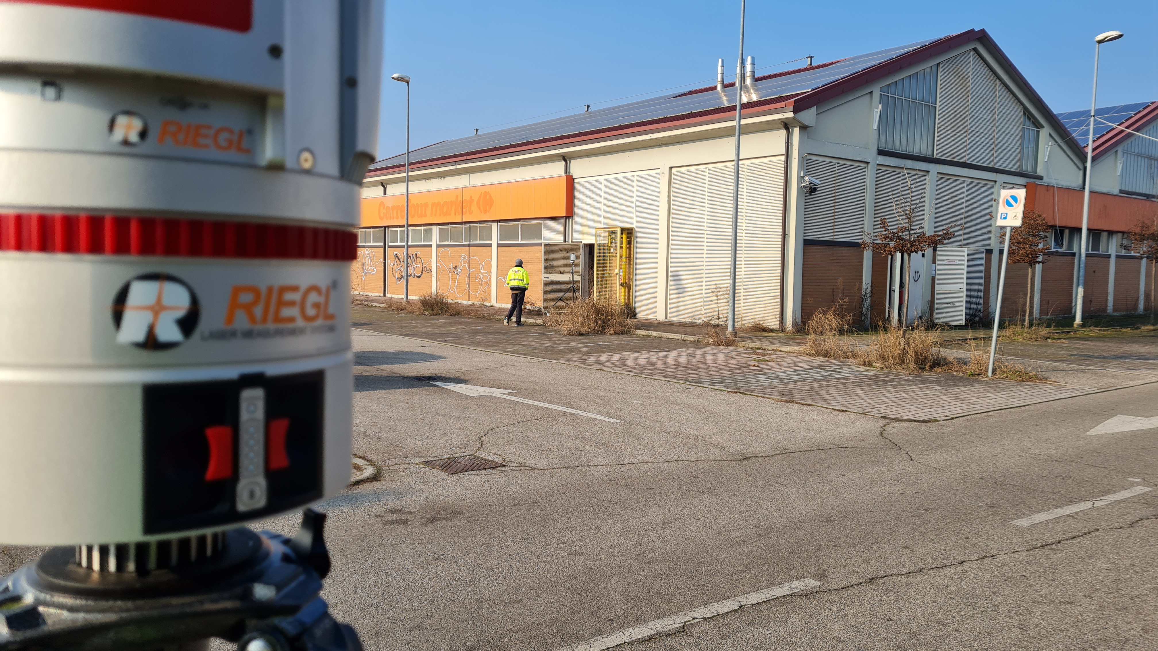
The exteriors and interiors of a building were tridimensionally detected with the creation of the reference system and positioning for the Laser Scanner with SLAM and Drone technology.
The purpose of the assignment was to
create a 3D model of the entire building
with the 2D extraction from Revit of the sections, plans and elevations of both the surveyed building and the area, with its boundaries,
for the new design of the structure.
- Project: Stable industrial survey
- Client: Direct company
- Place: Mantova (MN)
For the execution of the work was used the following instrumentation:
- Laser Scanner Riegl VZ400I
- Laser Scanner RTC360 LeicaGeoSystems
For the elaboration of the work the programs were used:
- Cyclone LeicaGeosystems
- 3DR Hexagon
- Autodesk Revit