20 September 2021
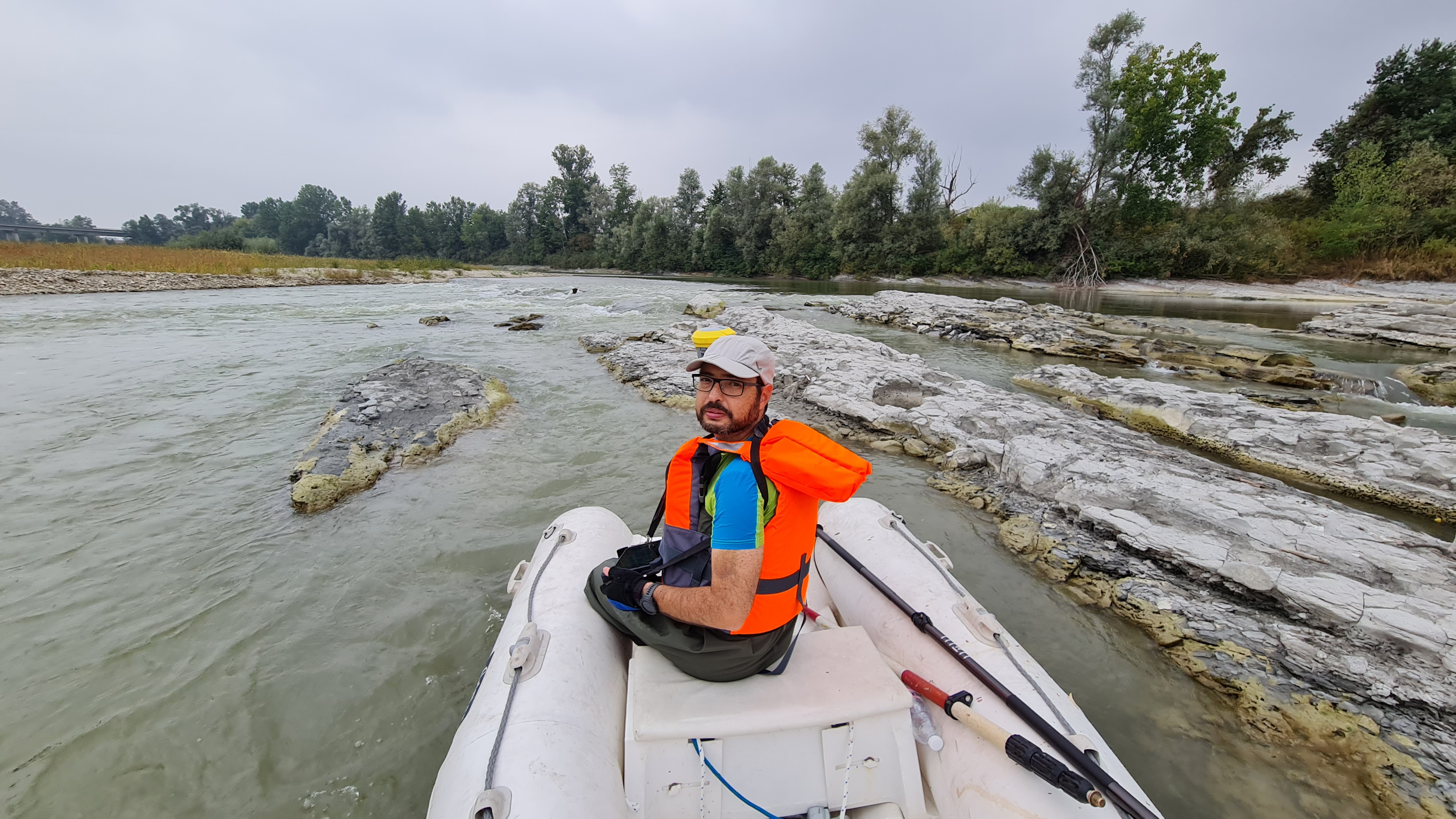
Three-dimensional surveys were carried out with the aid of
aerial scanning equipment (LIDAR) and
bathymetric surveys with GPS receiver with RTK satellite correction for a path
of about 25 km of riverbed plus 20 meters on the bank side.
The purpose of the assignment was
to monitor the mining activity of the quarries present along the path of the Tanaro river by processing and extracting the results in the form of sections.
The data collected will be compared with the historical surveys
to verify the correct performance of the mining activities adjacent to the riverbed.
- Project: Volumetric survey of the riverbed
- Client: Quarries
- Place: Asti (AT) - Baraccone (CN)
For the execution of the work was used the following instrumentation:
- GPS ZENITH 35 PRO GeoMax
- Batimetro Sonar Mite
- Elicottero Eurocopter AS350B2 con sistema LIDAR e camera fotografica RGB
For the elaboration of the work the programs were used: