03 July 2022
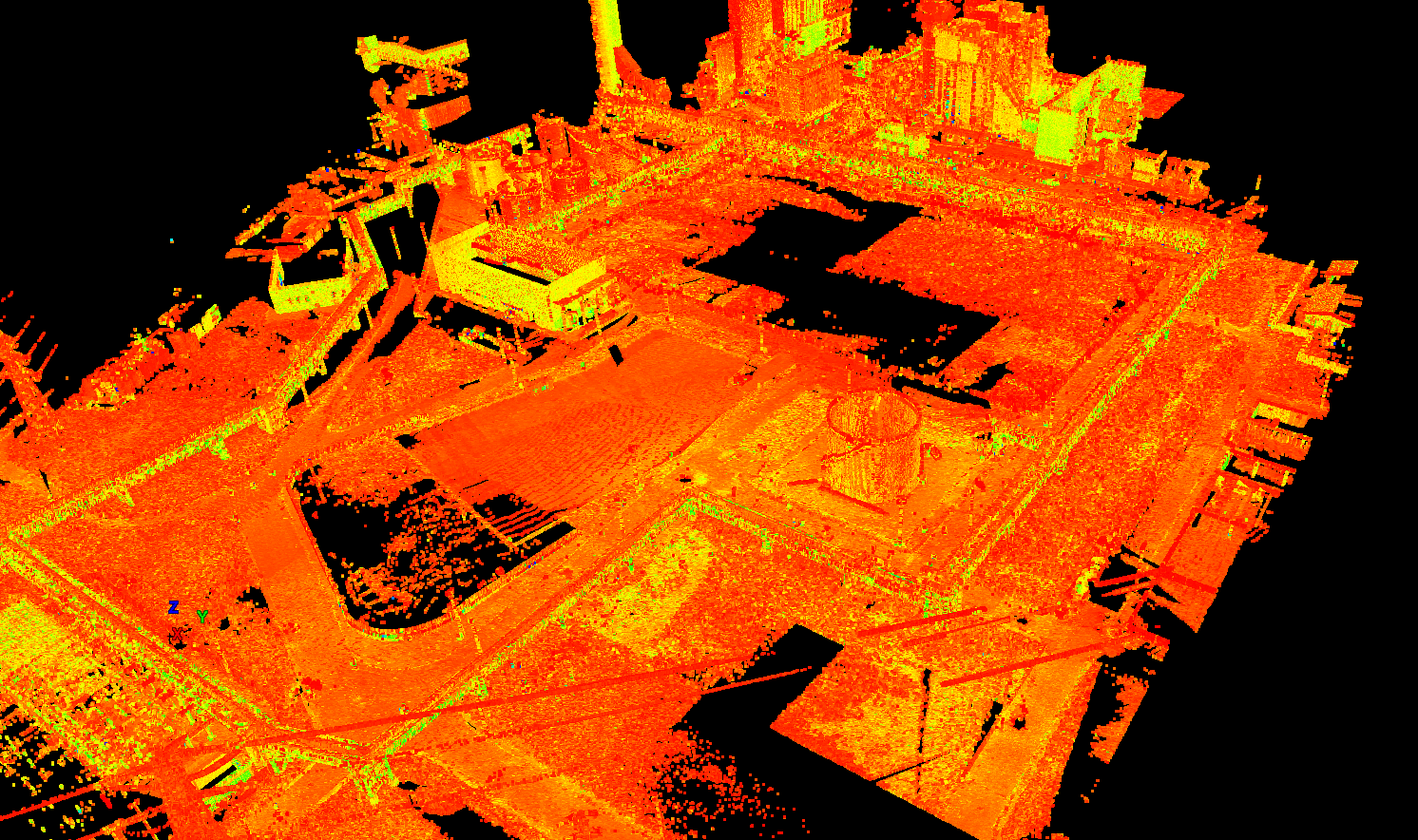
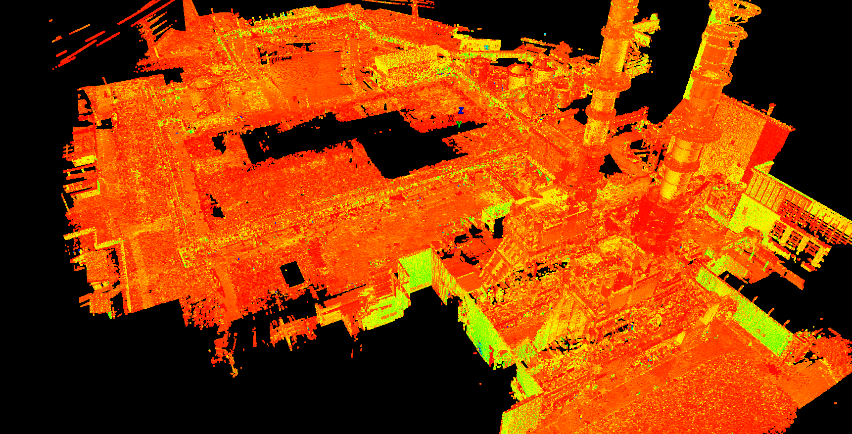
Three-dimensional surveys were carried out in order to obtain a
return of the data in cloud of points of the whole
Power plant. The purpose of the assignment was to
detect the surveys for the
project of the plant implementation of a new pipe
in the lattice beam.
120 high resolution scans have been carried out to cover a surface of over
13 ha outside, having to follow an implementation of pipes inside the grid, already populated by other pipes,
over 2 km long. Every possible shadow cone cover during the survey has been carefully evaluated.
The result was optimal, for the purpose for which it was intended and appreciated by the client.
- Project: Topographical surveys of the thermoelectric plant
- Client: Collaboration
- Place: Turbgo (MI)
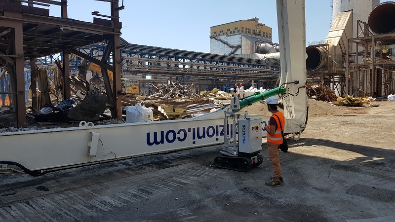
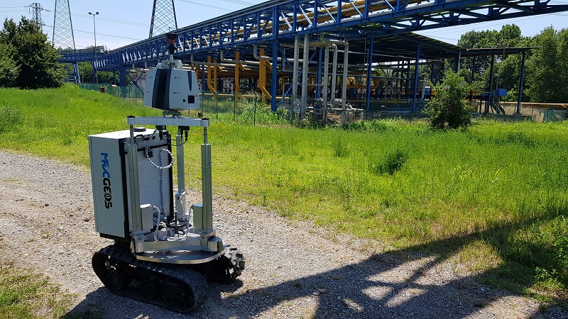
For the execution of the work was used the following instrumentation:
- MecGeos Remote Control
- P30 Laser Scanner - LeicaGeosystems
- TS60 LeicaGeosystems
For the elaboration of the work the programs have been used:
- Cyclone LeicaGeosystems
- Infinity LeicaGeosystems
- 3DR Hexagon