02 August 2021
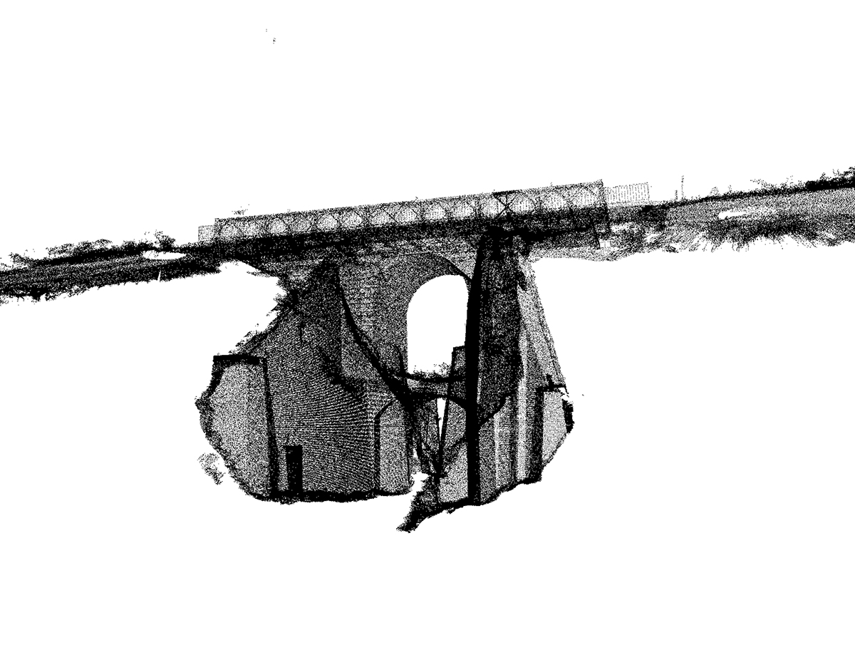
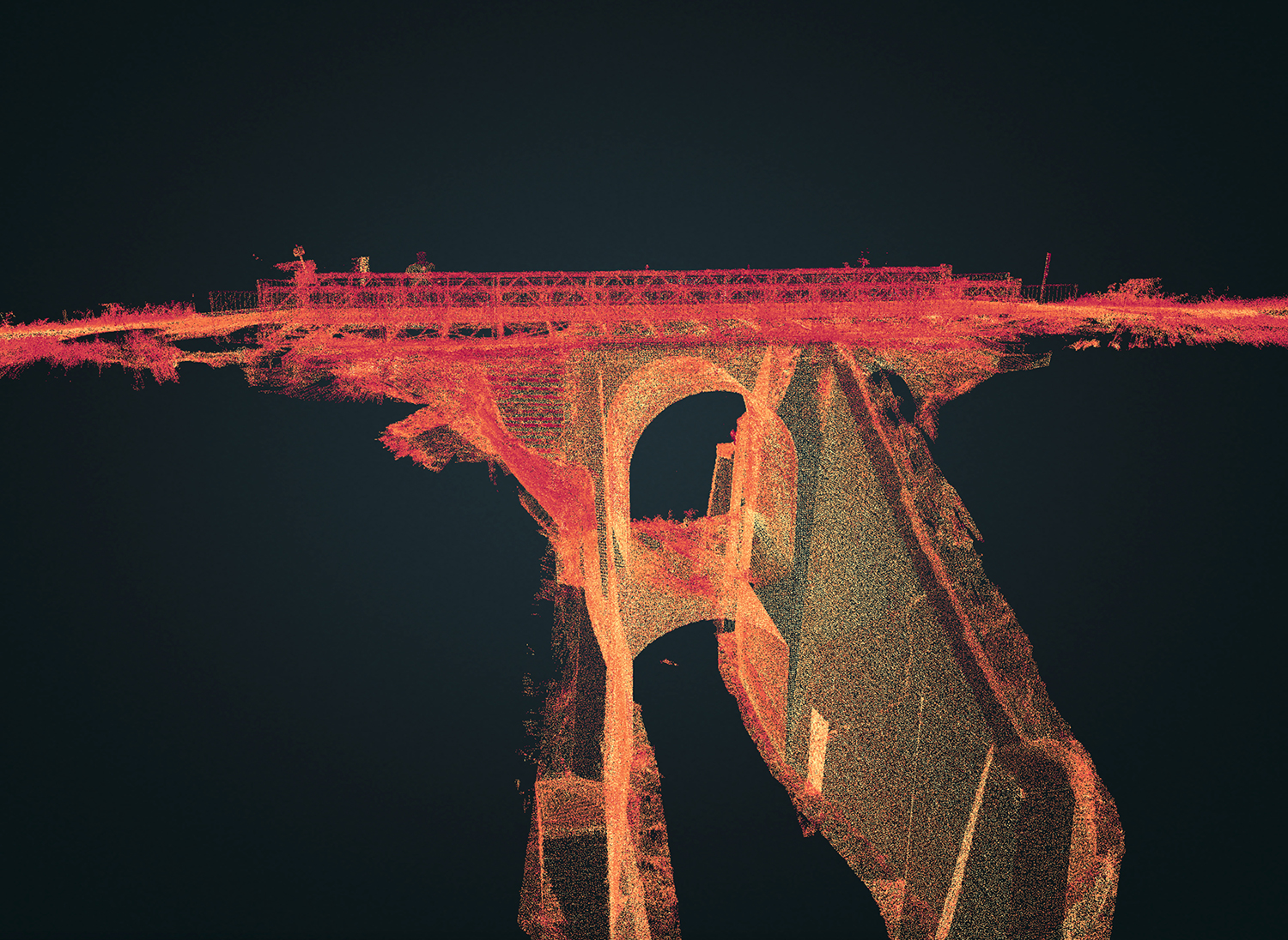
3D surveys of the vertical and flat surfaces, shoulders and edges of the arch bridge were carried out using Laser Scanner scans.
The purpose of the assignment was to
carry out consolidation and sizing of the structurewith the identification of unstable zone for maintenance works.
- Project: Structural survey
- Client: Union of Romagna Faentina
- Place: Faenza (RA)
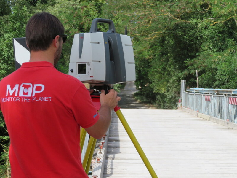
Many Italian towns are now availing of Monitor the Planet competences and services, including Faenza!
For the execution of the work was used the following instrumentation:
- MS60 Multistation 1” Leica Geosystems
- Laser Scanner P30 Leica-Geosystems
For the elaboration of the work the programs were used:
- Cyclone Leica Geosystems
- 3DReshaper Hexagon
Cloud Viewer link: tips for better viewing.
Click on button with the three setting lines:
- click on "Aspetto" and increase the points at full scale to the maximum
- look at "Progetto" and click on the "project name" and increase the point size scale
- look at "Progetto" and click on the "project name" and look at "Colore" you can see RGB selected by default. For non-color projects change "RGB" to "Gradiente di intensità"