20 May 2017
Project: Research of new methodologies and monitoring techniques with laser scanner scans
Year: 2017
Location: Conselice (RA)
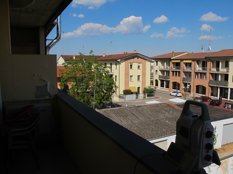
In collaboration with Leica Geosystems, we are in continuous research and improvement of functional techniques for monitoring bridges, infrastructures, buildings, landslides, etc.
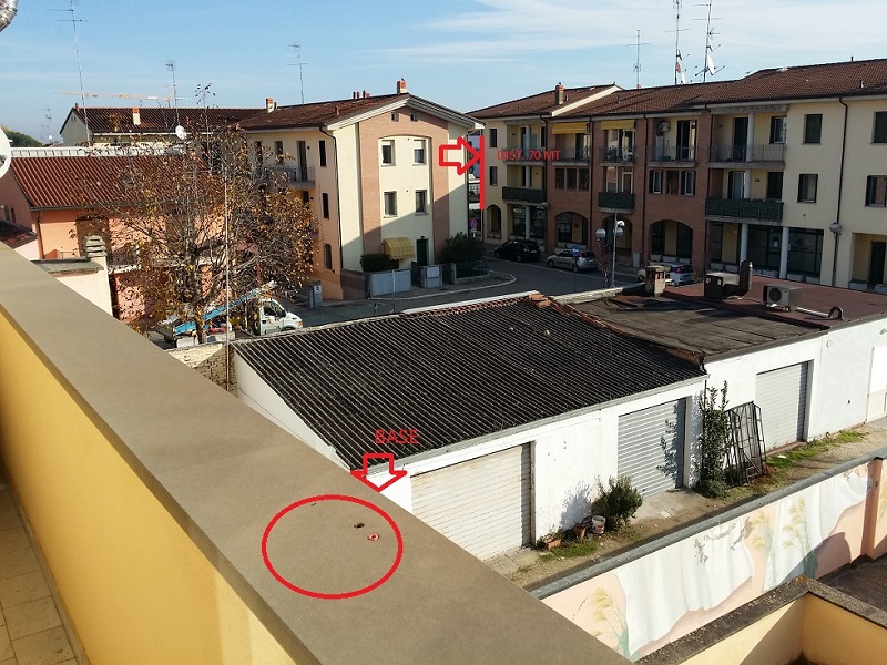
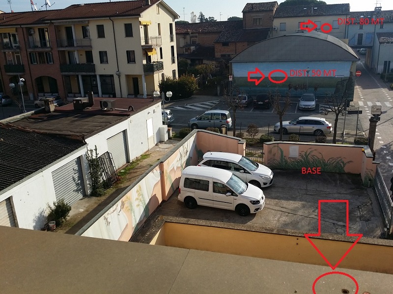
In this study, we tried to obtain the best solution to carry out monitoring from laser scanner scans with integrated GeoMoS and Multistation MS60 system.
Project: Research of new methodologies and monitoring techniques with laser scanner scans
Year: 2017
Location: Conselice (RA)
In collaboration with
Leica Geosystems, we are in continuous research and improvement of functional techniques for monitoring bridges, infrastructures, buildings, landslides, etc.In this field analysis, we tried to obtain the best solution to carry out monitoring from laser scanner scans with integrated GeoMoS and Multistation MS60 system.