10 May 2021
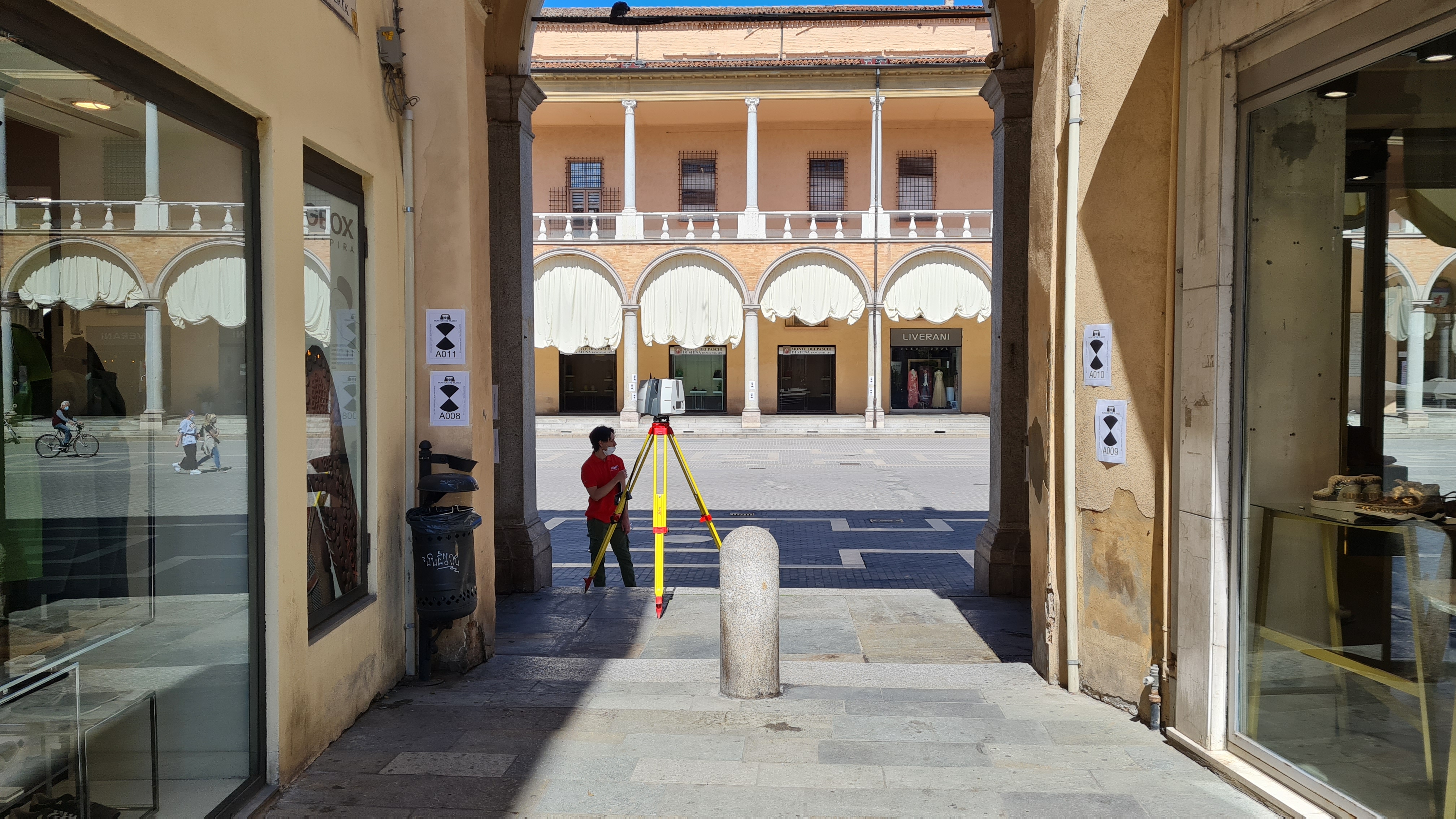
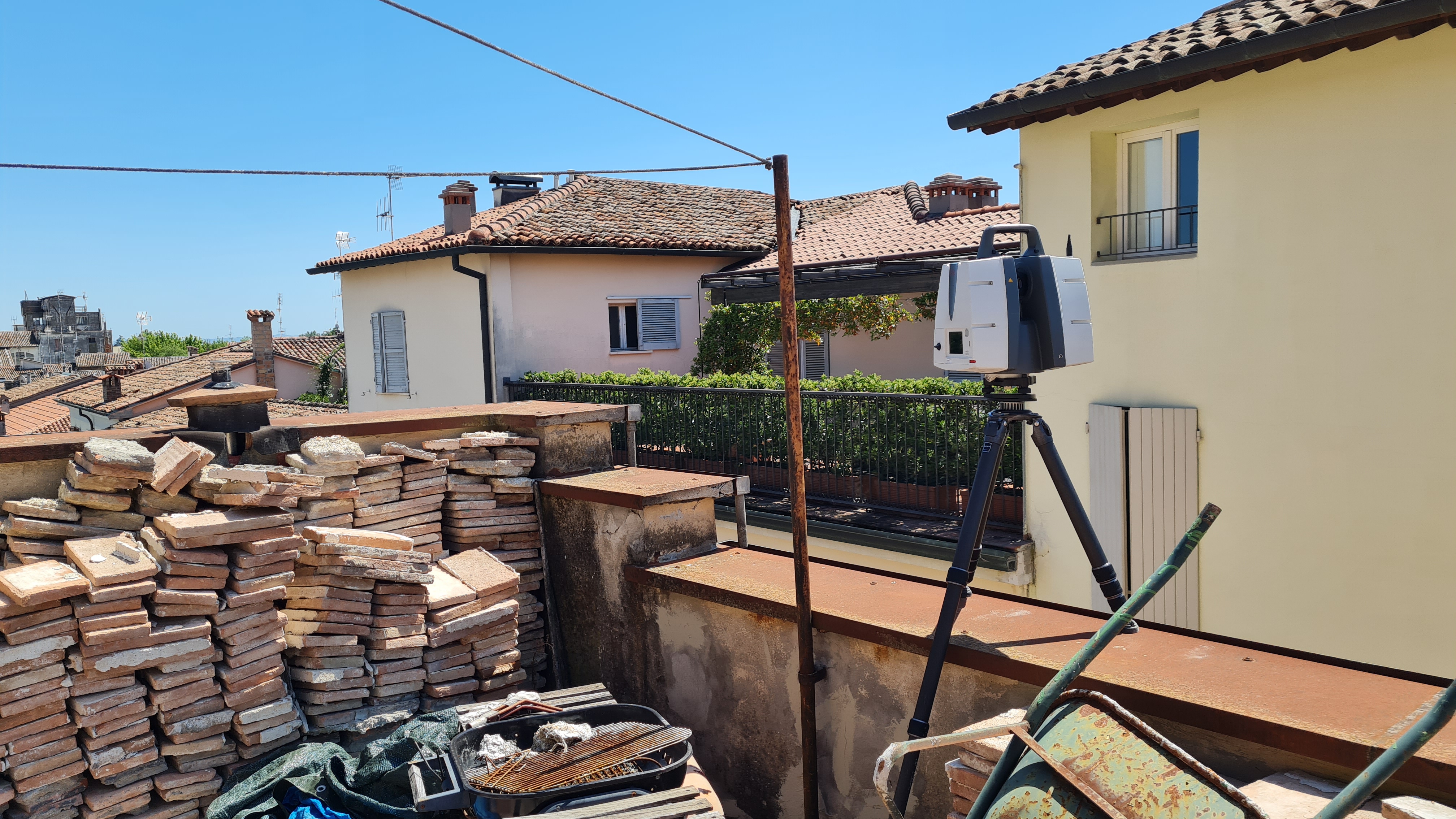
Were carried out
external surveys of elevations and
interiors of all living floors including cellar and attic through three-dimensional instrumentation.
The purpose of the assignment was to return a
3D architectural modeling of the building in
Revit format for the realization of a building intervention.
- Project: architectural survey
- Client: Private
- Place: Faenza (RA)
For the execution of the work was used the following instrumentation:
For the elaboration of the work the programs were used:
- Cyclone LeicaGeosystems
- 3DR Hexagon