19 September 2018
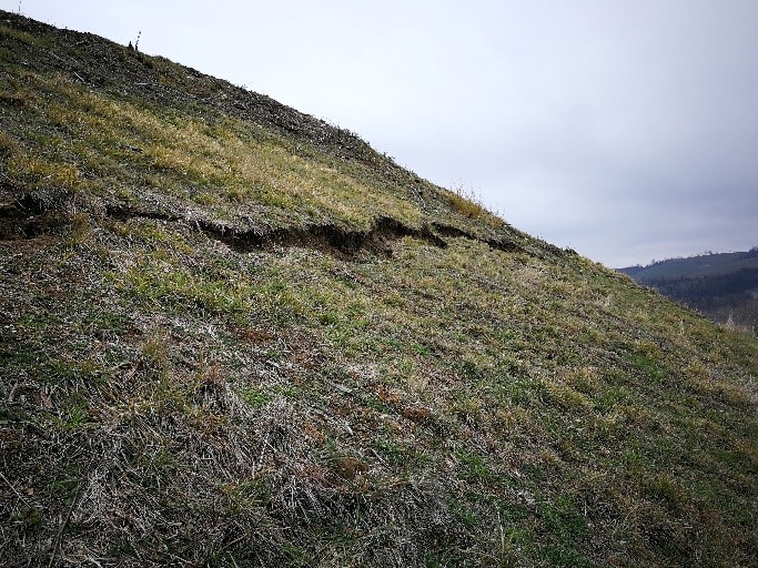
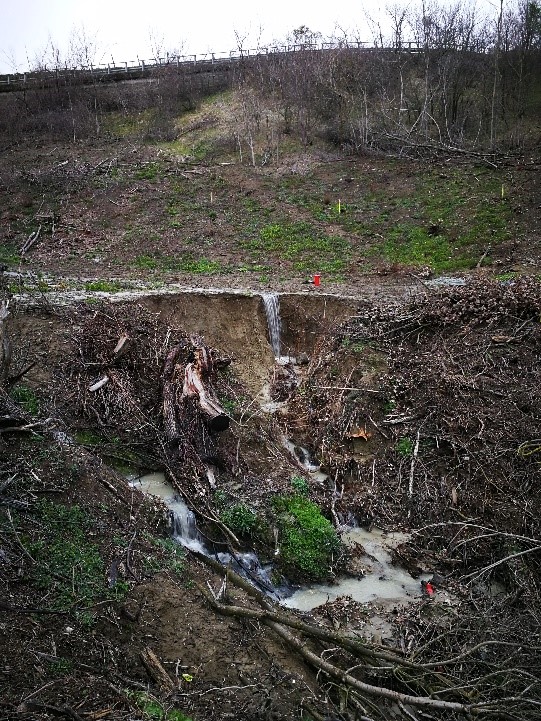
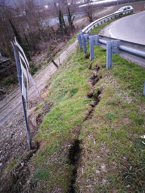
Project: Rationalization and securing with elimination of critical points along the former SS 306 Casolana 1st lot and 2nd section
Client: Province of Ravenna
Year of realization: 2017/2018
Locality: Casola Valsenio (RA)
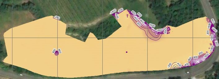
Georadar survey of the areas affected by the rationalization and safety works with the elimination of critical points along the former SS 306 Casolana 1 ^ LOTTO - 2 ^ STRALCIO - CUP J74E08000090002
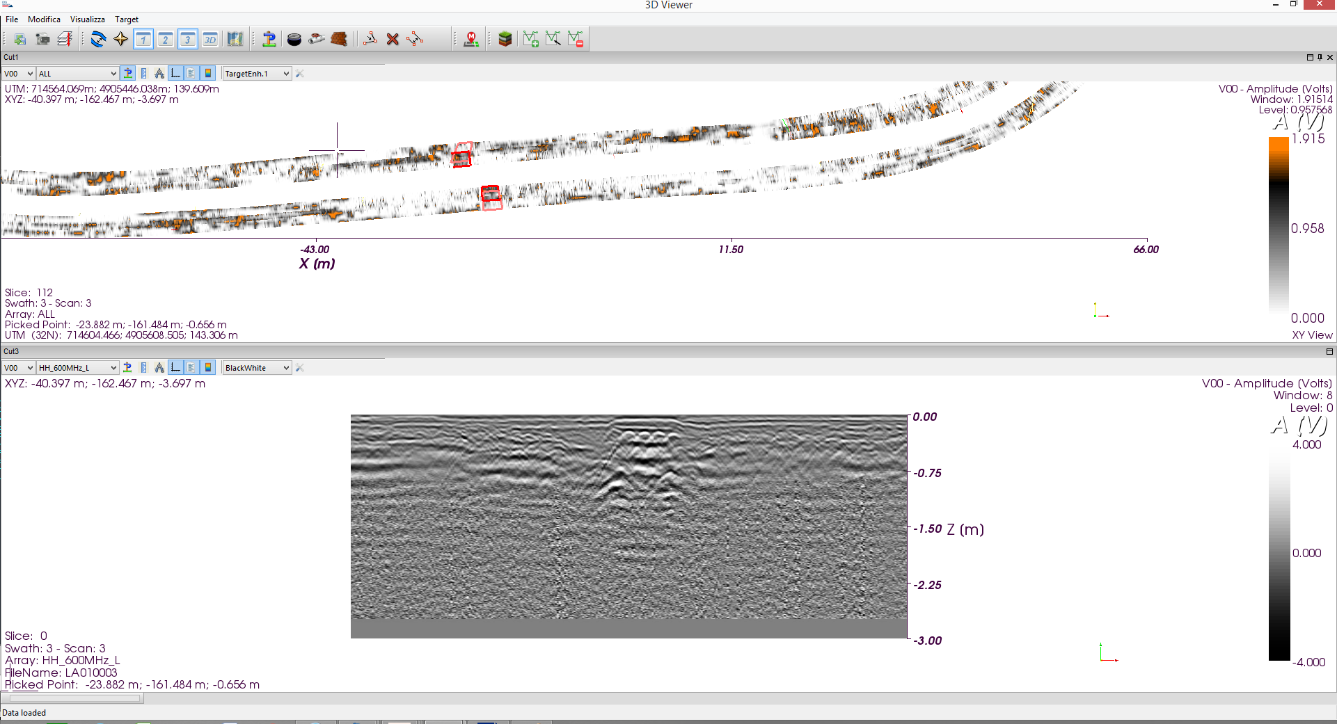
The aim of the work was to characterize the subsoil in order to identify the presence of foreign bodies buried for a maximum depth between zero and eight meters from the ground level having a shape and size comparable to an unexploded war residue. The purpose of the work was the characterization of the subsoil in order to identify the presence of foreign bodies buried, for a maximum depth between zero and eight meters from the ground level having a shape and size comparable to an unexploded war residue.
Project: Rationalization and securing with elimination of critical points along the former SS 306 Casolana 1st lot and 2nd section
Client: Province of Ravenna
Year of realization: 2017/2018Locality: Casola Valsenio (RA)
Georadar survey of the areas affected by the rationalization and safety works with the elimination of critical points along the former SS 306 Casolana 1 ^ LOTTO - 2 ^ STRALCIO - CUP J74E08000090002.
The aim of the work was to characterize the subsoil in order to identify the presence of foreign bodies buried for a maximum depth between zero and eight meters from the ground level having a shape and size comparable to an unexploded war residue.
The purpose of the work was the characterization of the subsoil in order to identify the presence of foreign bodies buried, for a maximum depth between zero and eight meters from the ground level having a shape and size comparable to an unexploded war residue.