04 November 2021
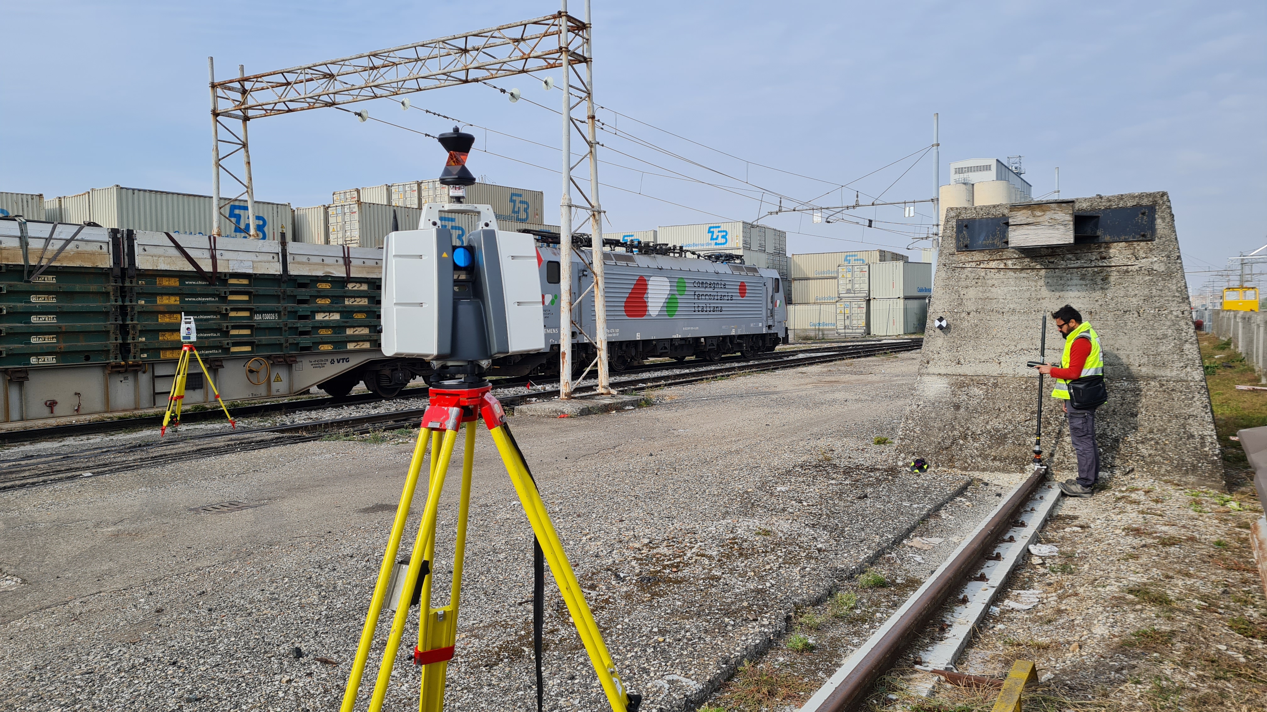
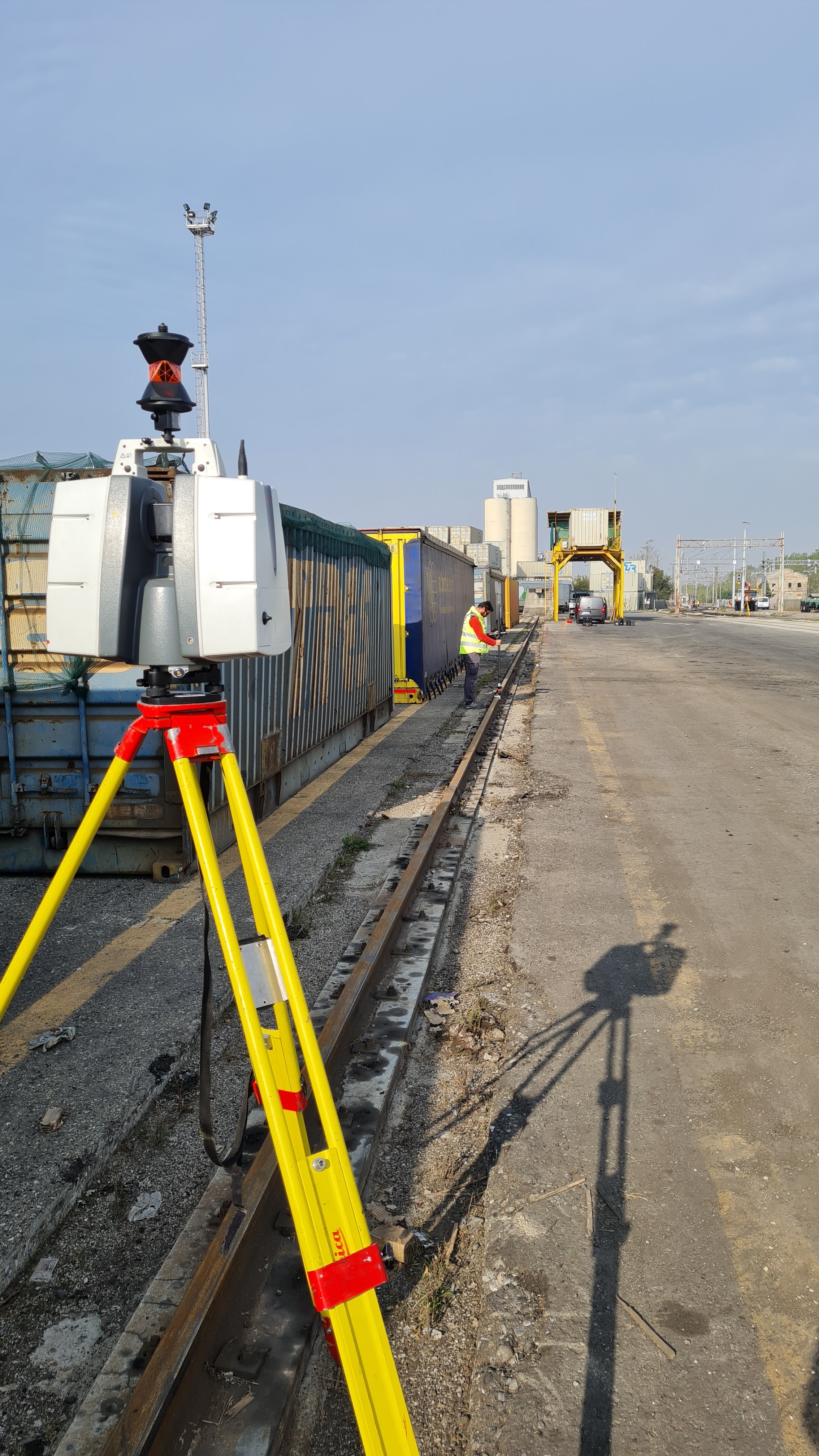
Precise track surveys with reference and
verifications of the gauge and the altimetry were carried out every 30 meters and every 5 meters from the center of the line.
The purpose of the assignment was to measure and verify
the alignment, parallelism and altimetric dimensions of the current status of the crane tracks and then returning
plano-altimetric data.
- Project: Verification of railway track gauge
- Client: Compagnia Ferroviaria Italiana (CFI)
- Place: Firenzuola D’Arda (PC)
For the execution of the work was used the following instrumentation:
- TPS Motorized MS60 (0,5" - 1") Leica-Geosystems
- Laser Scanner P30 Leica-Geosystems
For the elaboration of the work the programs were used:
- Cyclone Leica Geosystems
- 3DReshaper Hexagon
- Infinity Leica Geosystems