16 February 2021
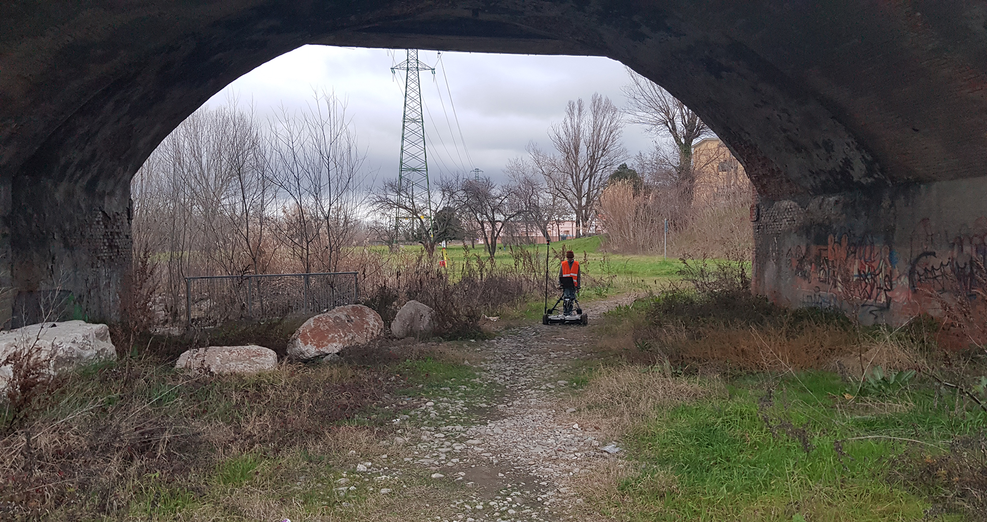
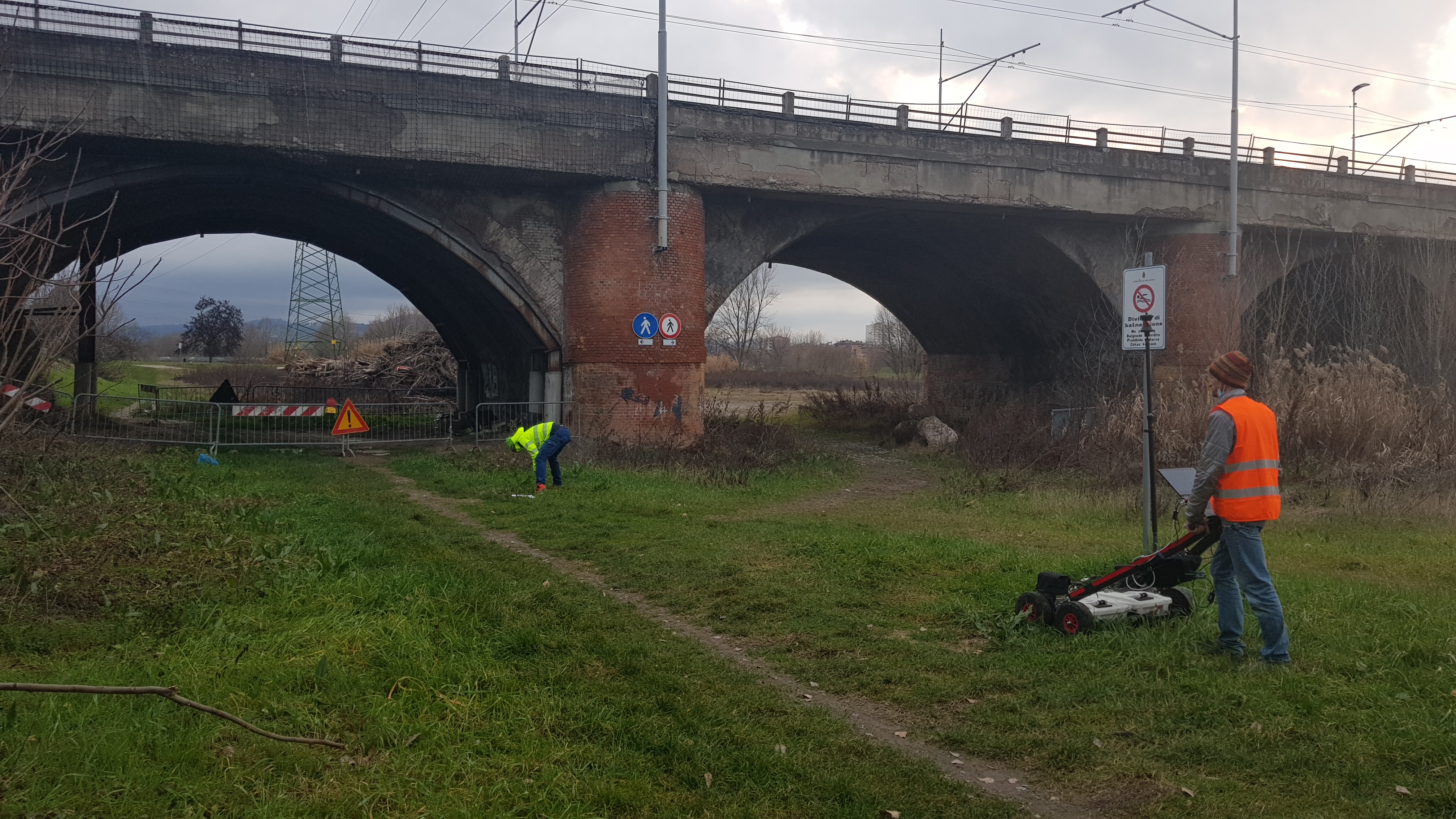
Investigations have been carried
with georadar instrumentation through the propagation of electromagnetic waves from the subsoil adjacent to the bridge
for the identification of underground services. In addition,
topographic surveys were carried out
for the two-dimensional representation of the underground utilities detected with elevation data.
The purpose of the assignment consisted in
locating and identifying all the pipes, sewage drains and fences present in the area under investigation and representing them planimetrically.
- Project: Investigations of the underground services
- Client: Direct company
- Place: Bologna (BO)
For the execution of the work was used the following instrumentation:
- Georadar frequency 200/600 Mhz
- P30 Laser Scanner LeicaGeosystems
- TS60 LeicaGeosystems
For the elaboration of the work the programs were used:
- Cyclone LeicaGeosystems
- Infinity LeicaGeosystems
- 3DR Hexagon