01 January 2018
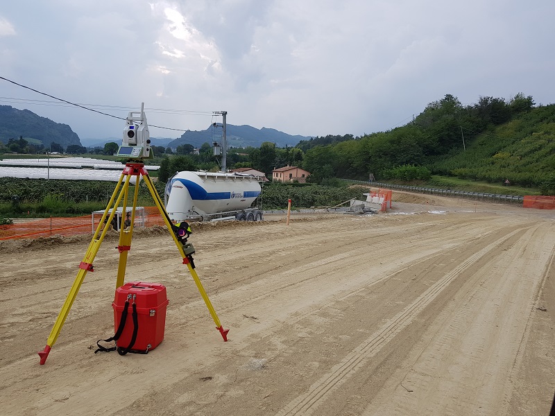
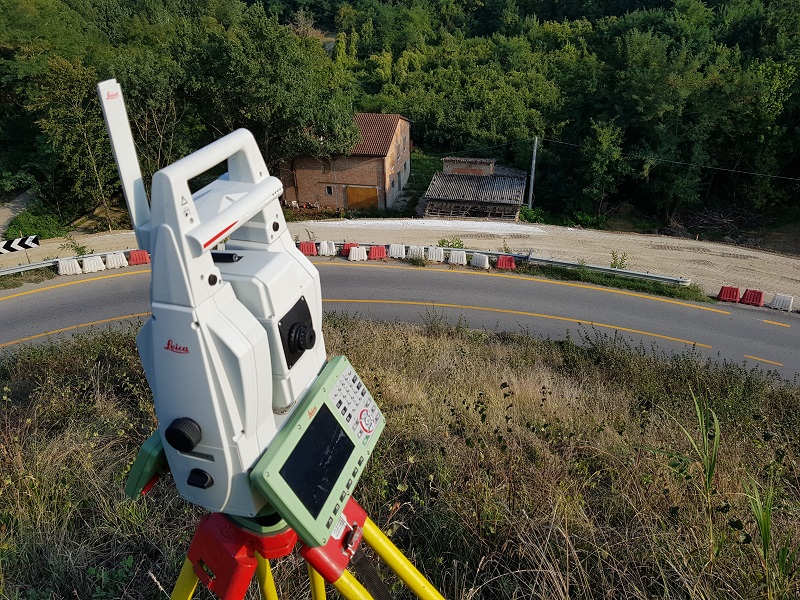
Project:Rationalization and securing with elimination of critical points along the former SS 306 Casolana 1st lot and 2nd section
Client: private company
Year of realization: 2018/2019
Locality: Casola Valsenio (RA) Rationalization and safety measures with elimination of critical points along the former SS 306 Casolana.
The project can be summarized as follows:
- - keep the road construction site monitored,
- - carry out 3D laser scanner survey with alignment to the project reference system
- - vegetation cleaning and soil model extraction,- extraction of the sections and of the longitudinal profile on the design roadbed (control via the Sierrasoft Roads program)
- -overlap with the project and realization of precision topographical landmarks for waste certification.
All certified with Leica Geosystems part of Hexagon tools and software.