MAKE LAND MAPPING SAFE AND SIMPLE
--
MONITOR THE PLANET
SURVEYING AND MAPPING
Espandi barra di navigazione
Menu
Services
Business Sectors
Tecnology and Software
MecGeos
blog
Careers
Italiano
Inglese
Italiano
Inglese
Home
blog
Topographic surveying
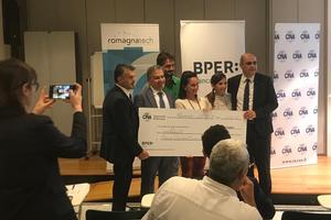
Monitor the Planet won a stage of national competition 'Cambiamenti'
23 October 2019
We were rewarded for creating an innovative tool for Land Deformation Monitoring.
Monitor the Planet srl lands in London
21 June 2019
From Faenza to England with the geomatic robot
Funding call for the relevant local authority Emilia Romagna
28 April 2019
2014-2020 ERDF Call Action 1.2.2. - "eBIM" FOR THE MANAGEMENT OF THE EXISTING BUILDING INTERVENTION
Surveys for cycling enhancement
04 April 2019
Feltrino cycling tourism - 1st section - "Gravazze / Salmenega Torrent" section
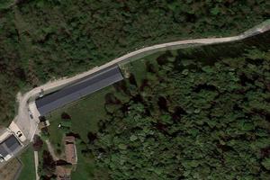
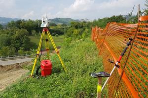
Monitoring of the movement of road works
22 February 2019
Control and verification of movements of building infrastructure along the road ex ss 306 Casolana
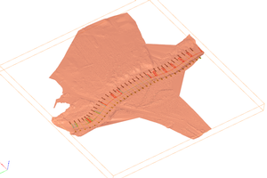
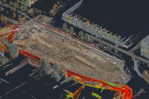
Three-dimensional survey of the external drainage system
14 January 2019
Surveyed area surrounding a building in Imola (BO)
Georeferencing of SRB transmission systems
31 December 2018
Periodic surveys and monitoring of buildings
04 December 2018
Topographic surveys in order to verify the verticality manufactured "Vodafone" in Milan.
Georeferenced georadar survey of highways
19 September 2018
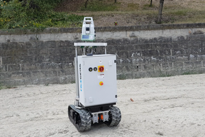
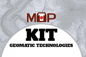
Project: KIT - GEOMATIC TECHNOLOGIES
10 September 2018
web-based and responsive 2D / 3D system
Topographic assistance at Ferrari SpA. Construction site tracking and control
06 September 2018
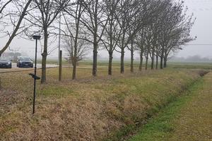
Periodic surveys and monitoring of landslide movements
05 September 2018
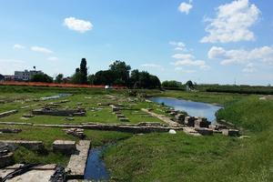
Development of archaeological site
01 July 2018
Works related to the preparation and enhancement of the ancient Late Roman and Byzantine port.
Volumetric and monitoring surveys for quarry remediation
05 April 2018
Volumetric and monitoring surveys relating to the reclamation of the Inferno Ghedi quarry (BS).
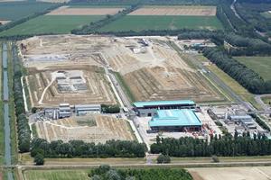
Periodic surveys and monitoring of landfills
02 January 2018
Volumetric surveys and monitoring of landfills in the areas of Ravenna, Voltana, Imola, Forlì.
Construction site roadway topographic assistance
01 January 2018
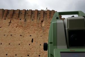
3D Surveys of the Oriolo dei Mille Fichi Tower
14 September 2017
3D Surveys of the Oriolo dei Mille Fichi Tower
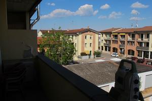
Technological system surveys
05 June 2017
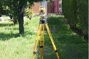
Topographic surveys with total station and surveys with GPS for planning purposes.
Installation and auditing of monitoring methodologies with 3D laser scanner
20 May 2017
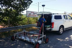
Topographic surveys of tunnels
22 March 2017
Topographic survey of precision polygon for positioning the 3D scanner for subsequent alignment of the scan of the bridge and Enel tunnels.
«
1
2
(current)